Online exhibition spotlighting ‘Napoleon’s atlas’, a gem of cartographic heritage in NSK’s collections

The latest exhibition on the NSK Online Exhibitions website spotlights one of the greatest treasures of the NSK Map Collection – a 19th-century manuscript atlas of the Croatian coast of the Adriatic known as ‘Napoleon’s atlas’.
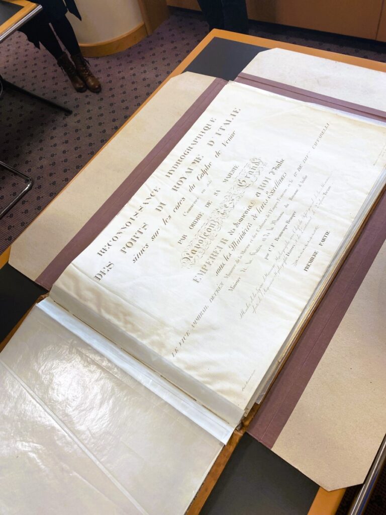
Called Napoleon’s – for a reason
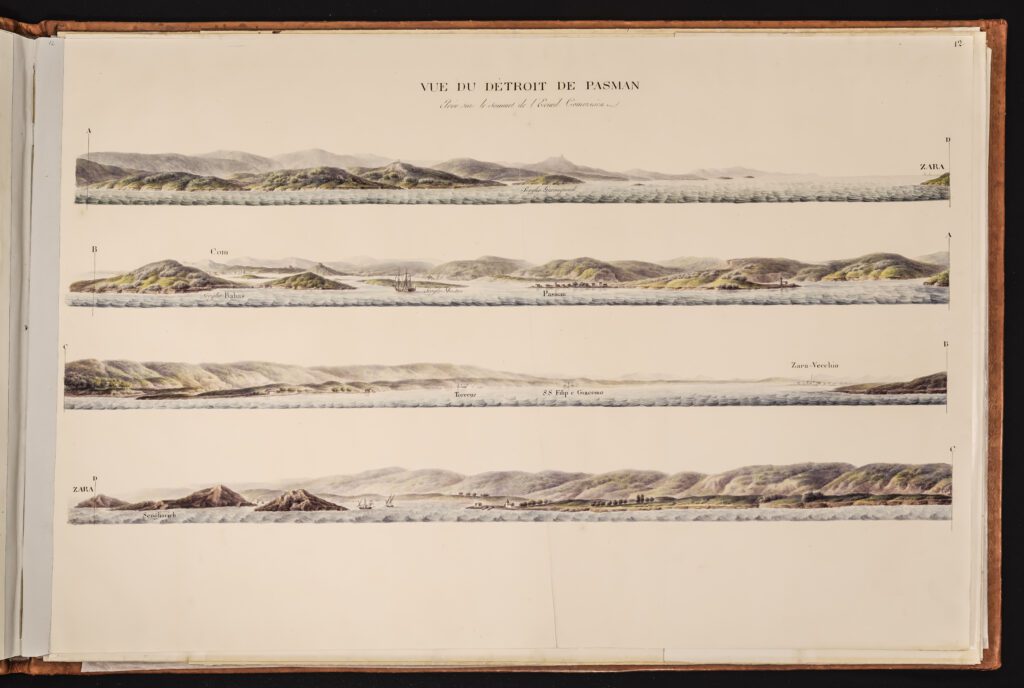
Commissioned by Napoléon Bonaparte himself and marked by exceptional scientific and artistic value, the 1806 atlas consists of charts and topographical views of the eastern part of Croatia’s Adriatic coastline, whose annexation to Napoleon’s empire prompted the atlas’s creation by famous cartographers Charles-François Beautemps-Beaupré, Ekerlin and Paolo Birasco.
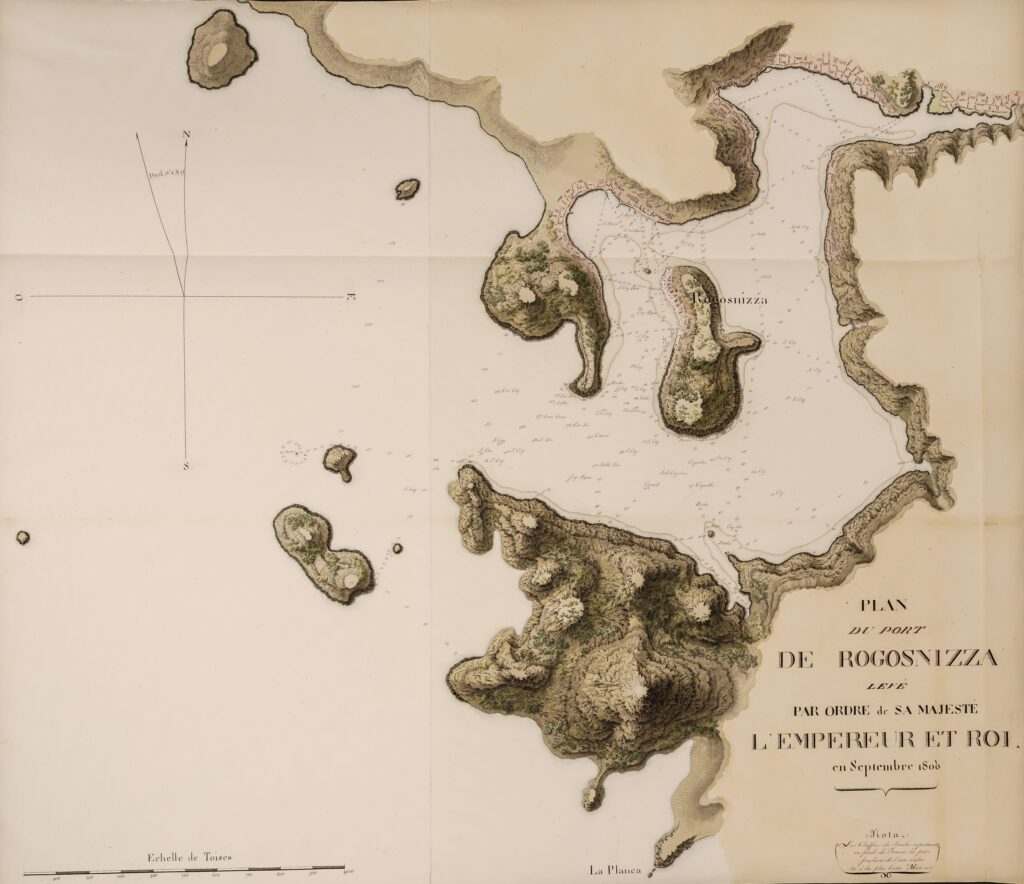
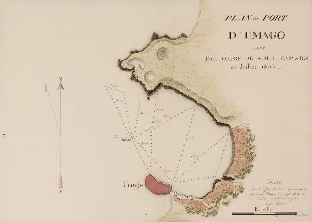
The atlas’s significance in documenting the first scientifically based hydrographic surveying of the Adriatic in history and thus being an indispensable resource in any Adriatic-related research is matched by its exquisiteness in terms of its purely artistic features.
The story of an invaluable treasure available to everyone
Authored by the Head of the NSK Music Collection Dr Mira Miletić Drder, the exhibition brings interesting details concerning the atlas’s origin, its authors, content and circumstances surrounding its creation.
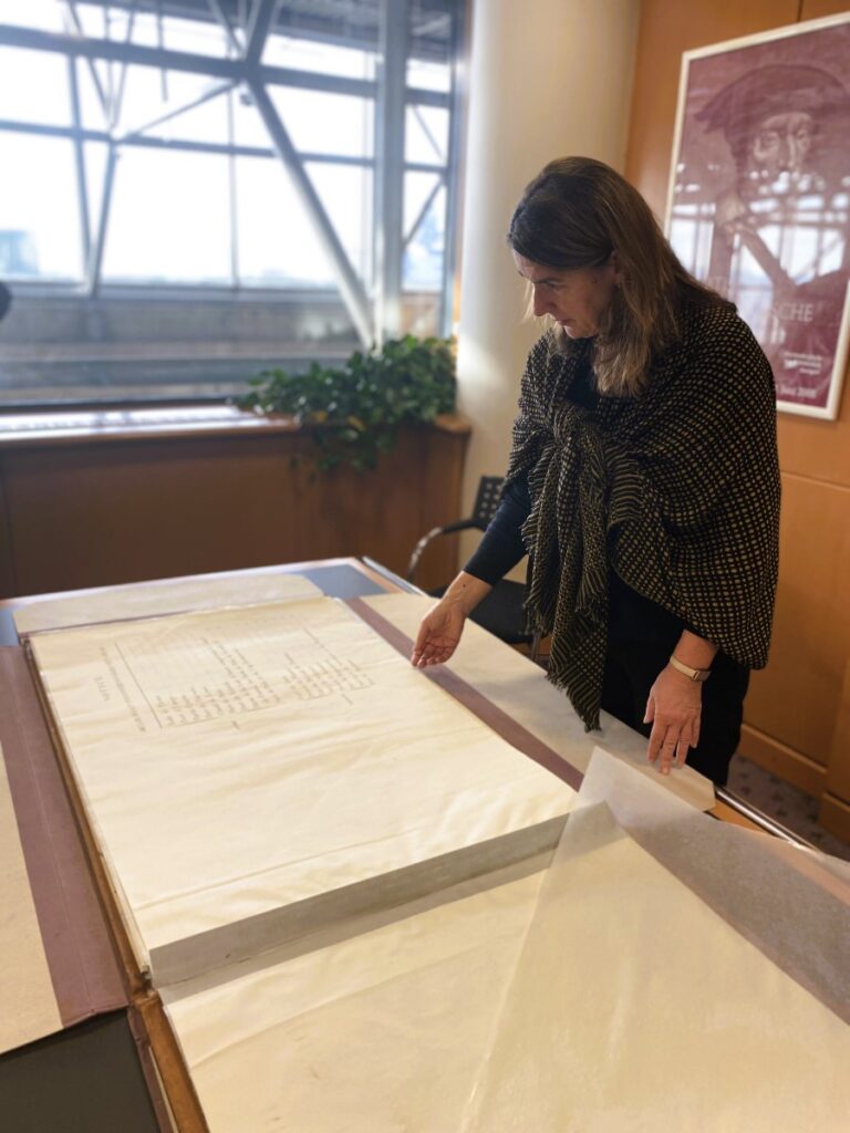
Having become part of the Library’s holdings in 1979, the invaluable atlas was acquired as a result of sustained efforts of individuals and institutions in Croatia and abroad.